

PROFESSIONAL
DRONE SOLUTIONS
PHOENIX UAV
use cases
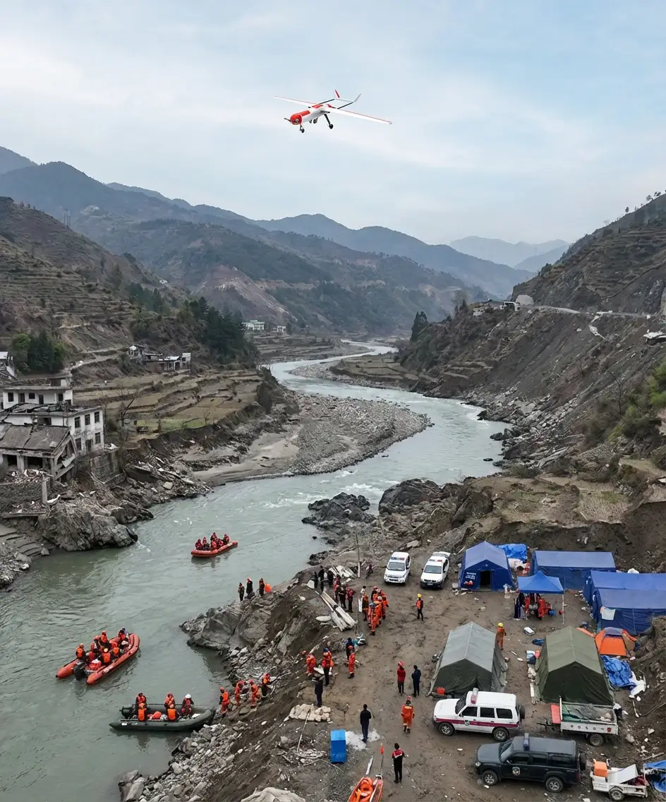
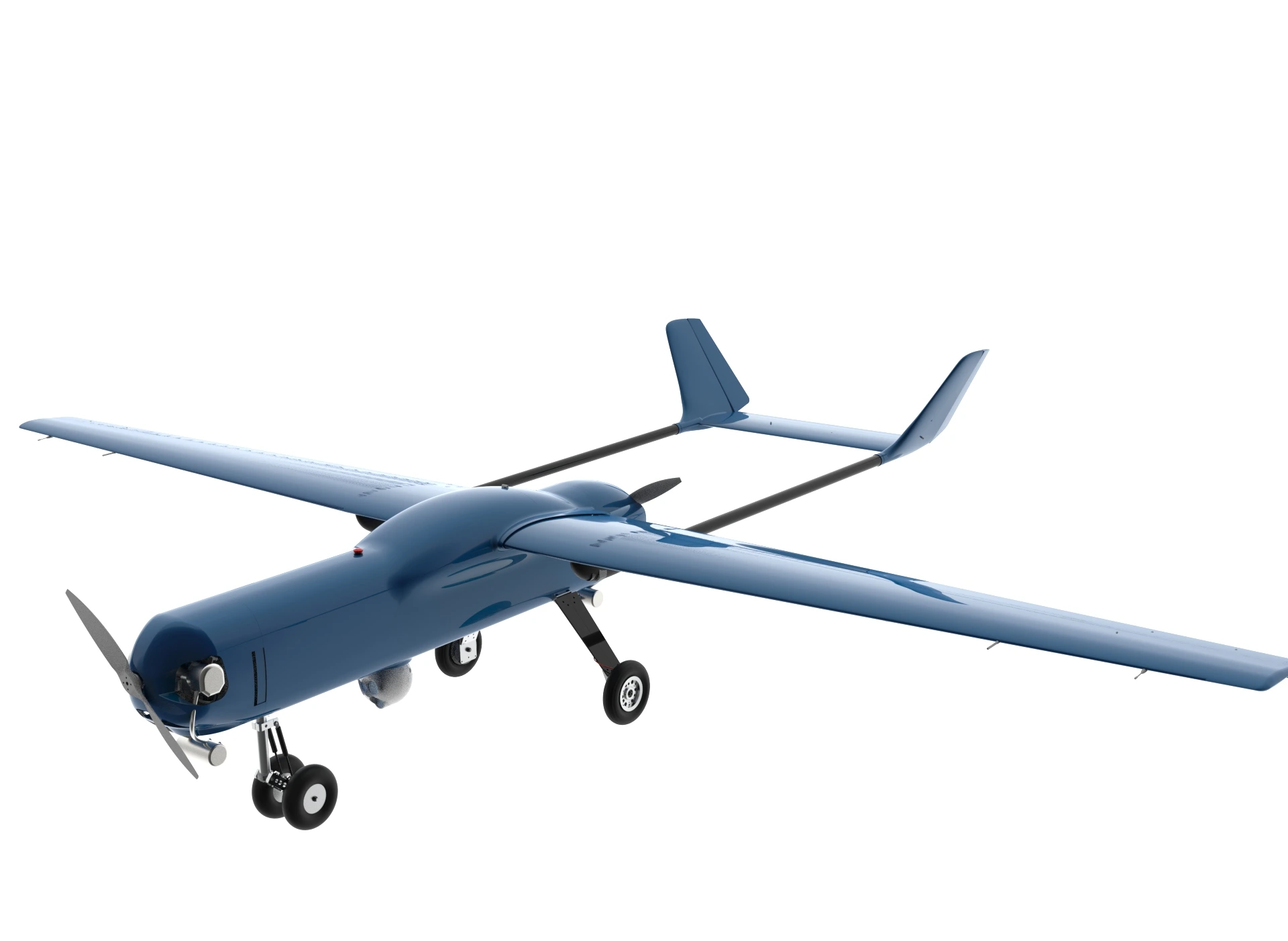
For Intelligence, Surveillance, and Reconnaissance (ISR) operations, the PHOENIX UAV provides persistent aerial monitoring through the integration of day and night vision cameras and advanced imaging payloads. It is capable of collecting actionable intelligence such as vehicle identification, license plate recognition, personnel counting, and geolocation of moving targets. The system enables real-time situational awareness and accurate data acquisition over wide areas, supporting security and monitoring missions with high reliability.
In addition, the PHOENIX UAV excels in target tracking, reconnaissance, and search-and-rescue missions, particularly in complex or emergency environments. Its ability to detect, follow, and record moving objects allows operators to respond efficiently to incidents such as vehicle accidents or missing persons. By delivering time-stamped and location-referenced imagery, the drone enhances operational decision-making and improves response effectiveness in critical ISR and protection scenarios.
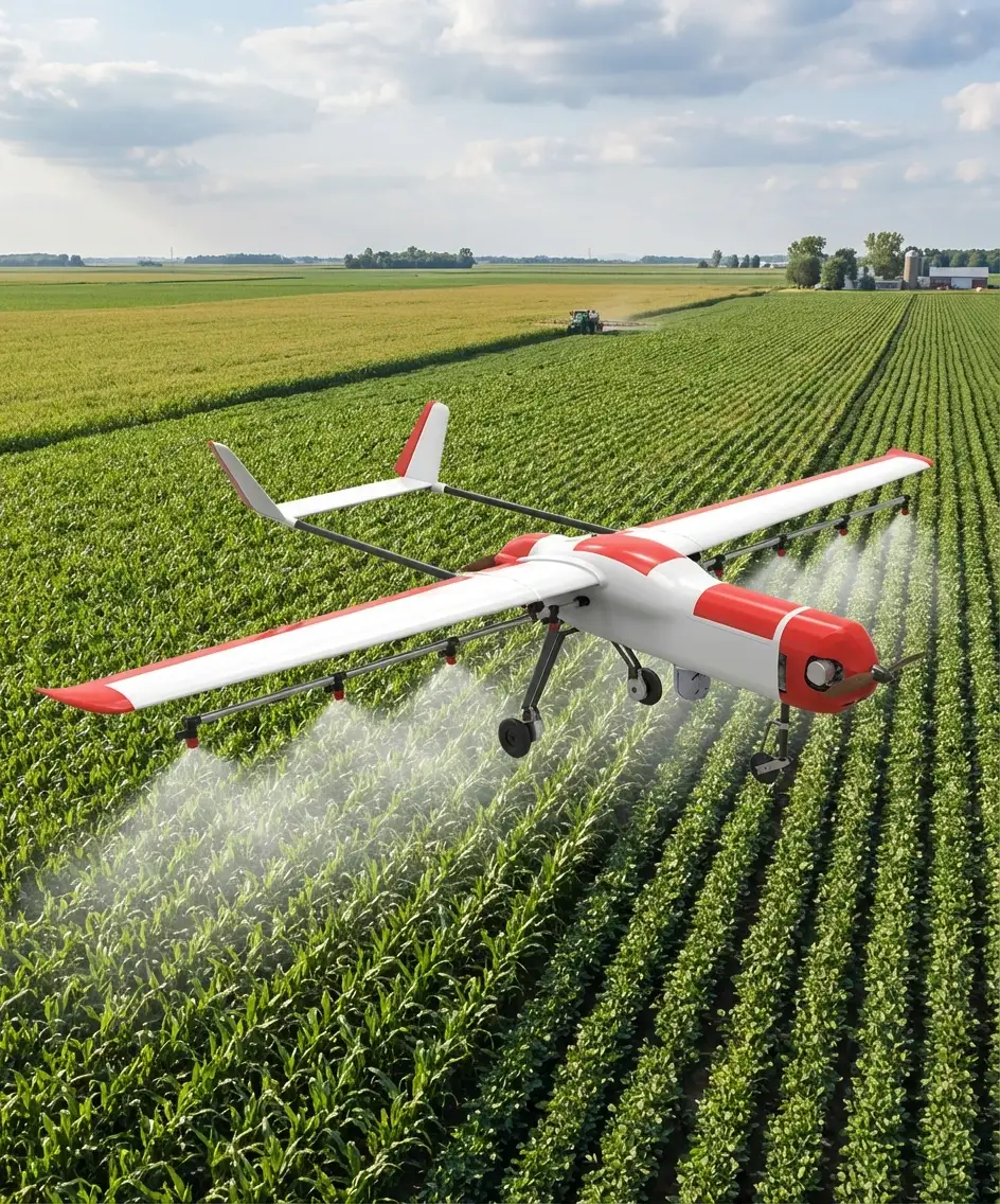
In precision agriculture, the PHOENIX UAV enables highly accurate crop spraying and spot spraying by adapting its altitude and flight trajectories to terrain and field conditions. Equipped with advanced sensing technologies such as LiDAR, it can scan agricultural areas in real time and precisely apply liquids only where needed. This targeted approach optimizes resource usage, enhances operational efficiency, and reduces environmental impact while ensuring uniform crop treatment.
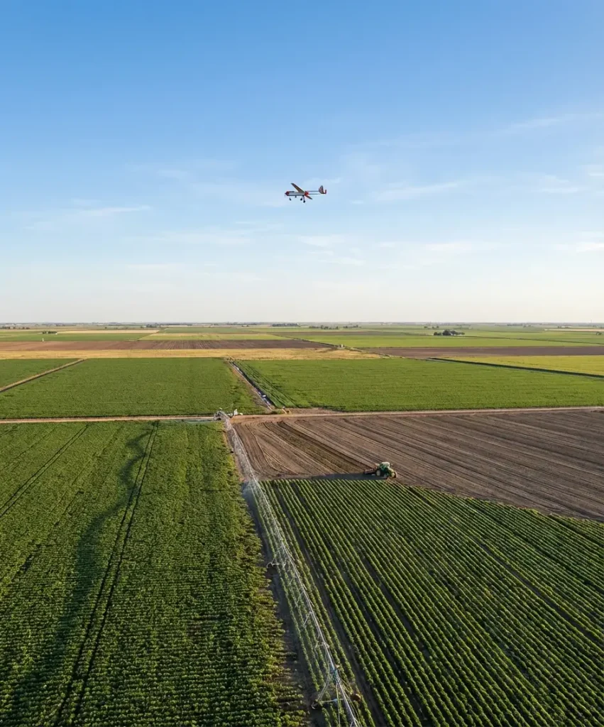
Additionally, the PHOENIX UAV supports aerial imaging, crop monitoring, and soil analysis through the production of high-resolution maps and 3D models. By providing detailed and frequently updated data, it helps identify crop stress, growth variability, and inefficient practices. These insights enable data-driven decisions for improved planting strategies, productivity optimization, and sustainable agricultural management.
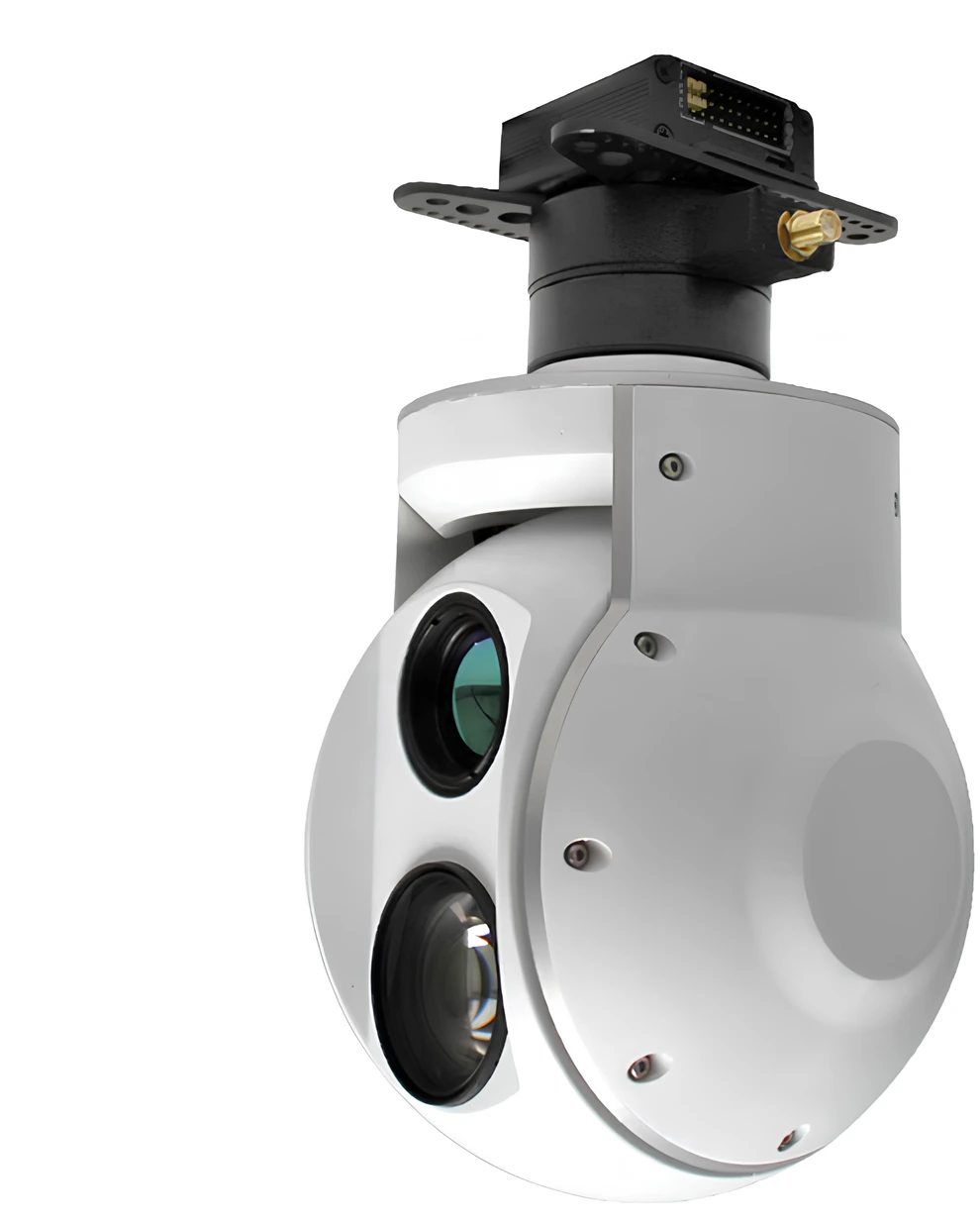
In environmental monitoring, the PHOENIX UAV is an effective tool for pipeline inspection and oil slick detection, thanks to its long-range camera gimbal and multispectral sensing capabilities, including infrared and ultraviolet imaging. These sensors allow the drone to detect, visualize, and analyze oil spills across different spectral bands, even at early stages. This enables rapid identification of leaks, assessment of spill extent, and continuous monitoring of sensitive ecosystems, reducing environmental damage and response time.
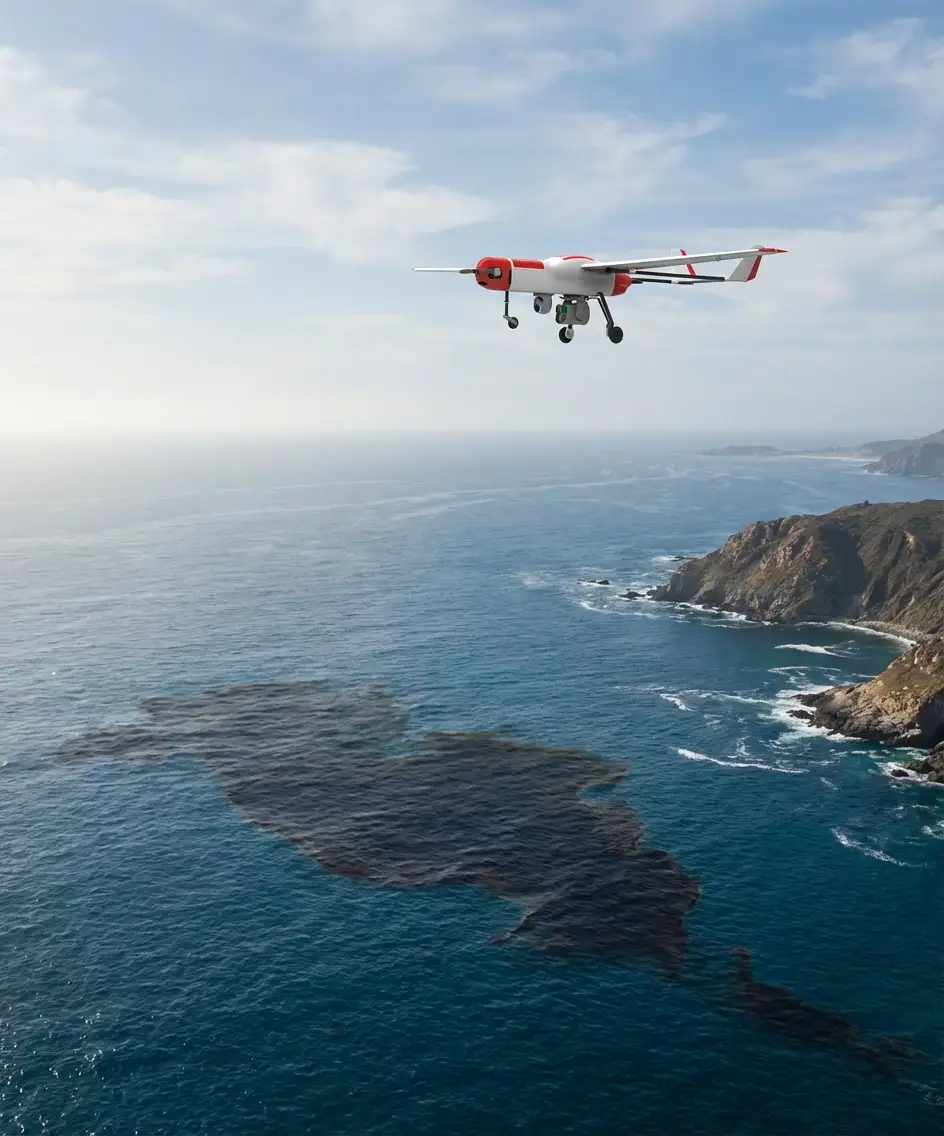

Additionally, PHOENIX UAV supports marine and coastal environmental surveillance by collecting time-stamped and georeferenced imagery of maritime areas. Its ability to monitor vessel activity, surface anomalies, and pollution indicators contributes to environmental protection and regulatory compliance. By providing accurate aerial data over large and hard-to-access areas, the drone enhances environmental risk management and supports informed decision-making for sustainable resource and infrastructure management.
In cartographic applications, the PHOENIX UAV enables the efficient production of high-accuracy maps through the use of high-resolution optical sensors, LiDAR systems, and precise georeferencing. By executing automated flight missions with consistent overlap and altitude control, the drone captures detailed imagery suitable for generating orthomosaics, digital surface models (DSM), and digital elevation models (DEM). This ensures reliable spatial representation of terrain and built environments for accurate mapping projects.
Furthermore, PHOENIX UAV supports advanced geospatial data processing and map updating workflows by delivering dense point clouds and georeferenced datasets. These outputs allow cartographers and GIS specialists to perform precise feature extraction, land-use classification, and spatial analysis. The drone’s ability to rapidly cover large areas makes it an effective solution for modern cartography, supporting urban planning, infrastructure mapping, and environmental documentation with improved efficiency and accuracy.
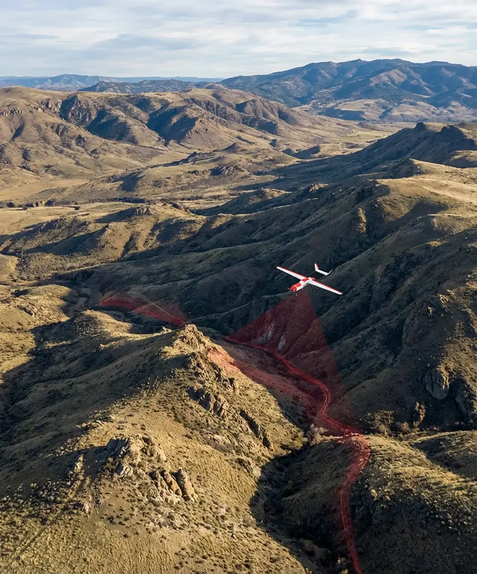
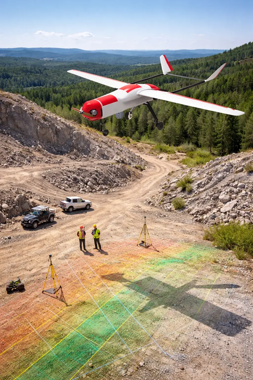
In topographic surveying, the PHOENIX UAV enables rapid and precise terrain data acquisition using LiDAR technology, high-resolution imaging sensors, and accurate positioning systems. By following optimized flight paths and maintaining consistent altitude, the drone produces detailed 3D terrain reconstructions, digital elevation models (DEM), and contour maps, even in complex or inaccessible environments. This significantly improves survey efficiency while maintaining high spatial accuracy.
Additionally, PHOENIX UAV supports advanced landform analysis and surface modeling for engineering, construction, and infrastructure planning. The high-density georeferenced datasets generated allow professionals to evaluate slopes, elevation changes, and drainage patterns with confidence. This makes the system a reliable and cost-effective solution for modern, data-driven topographic and geospatial applications.