
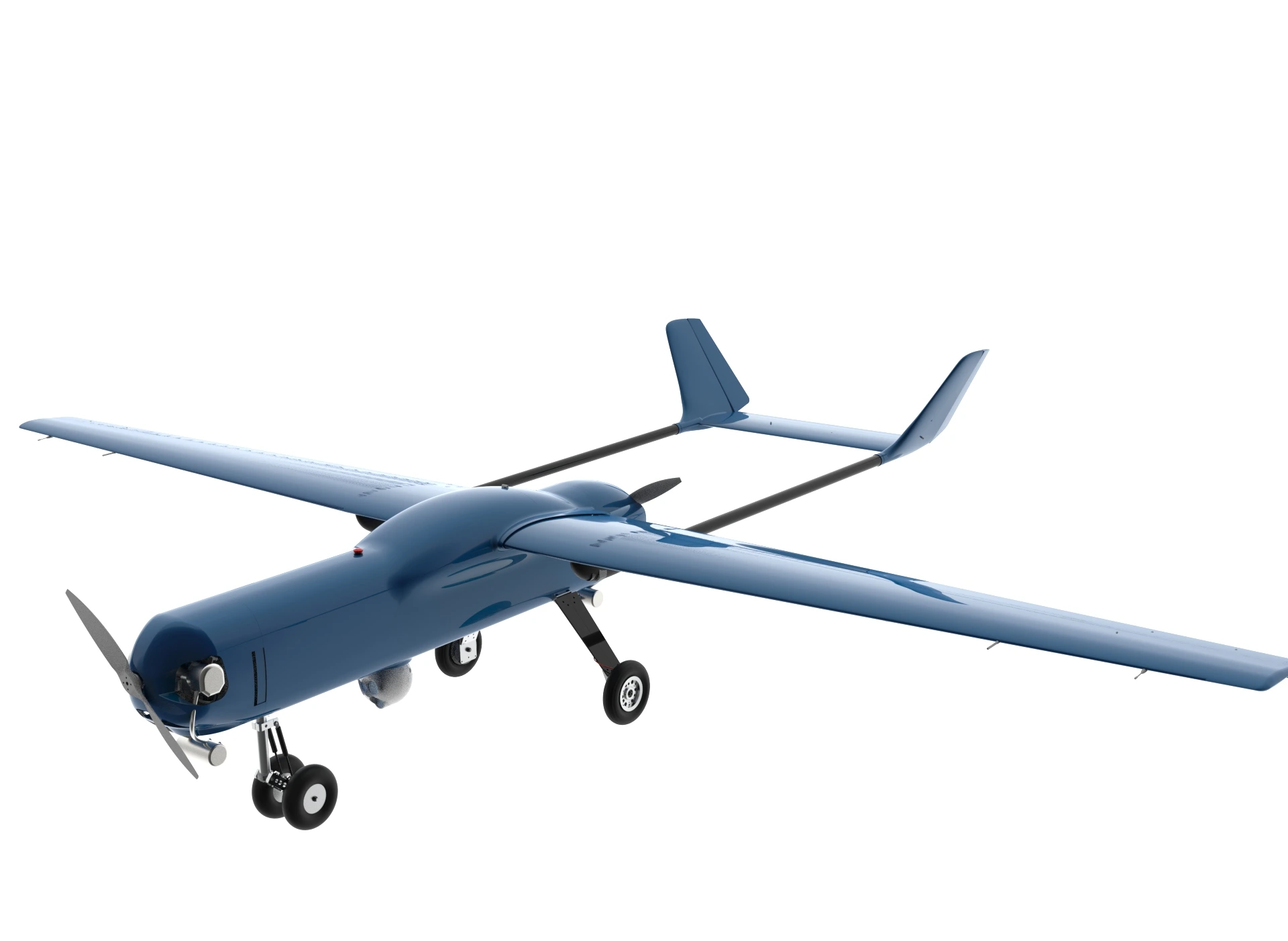
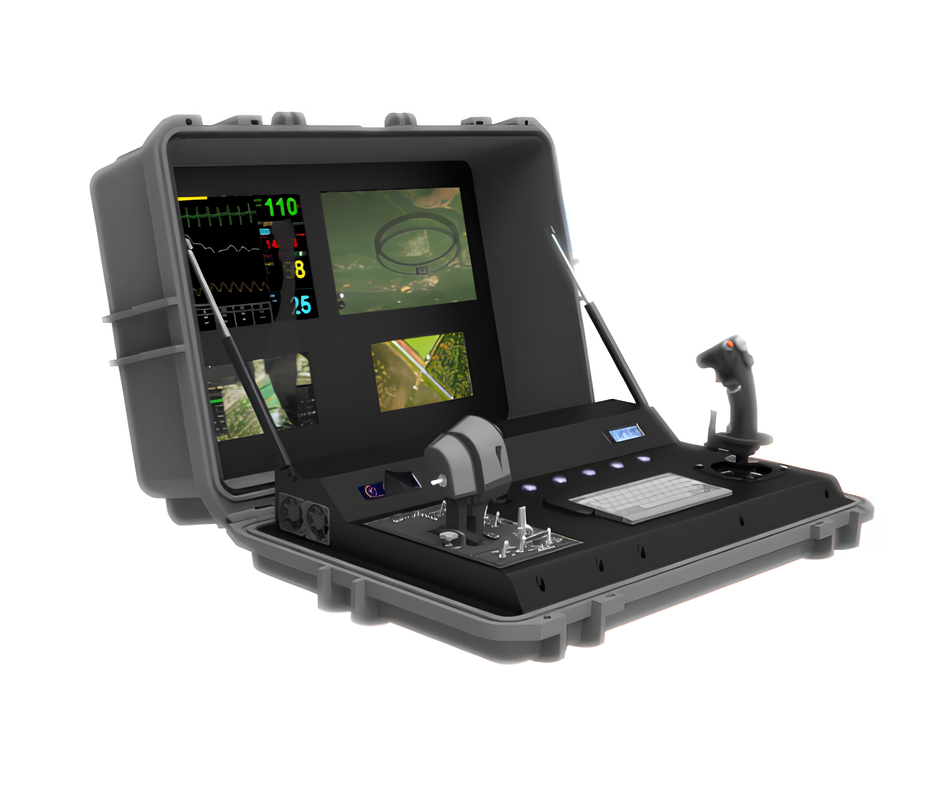
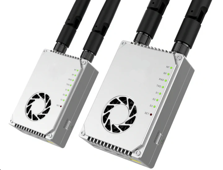
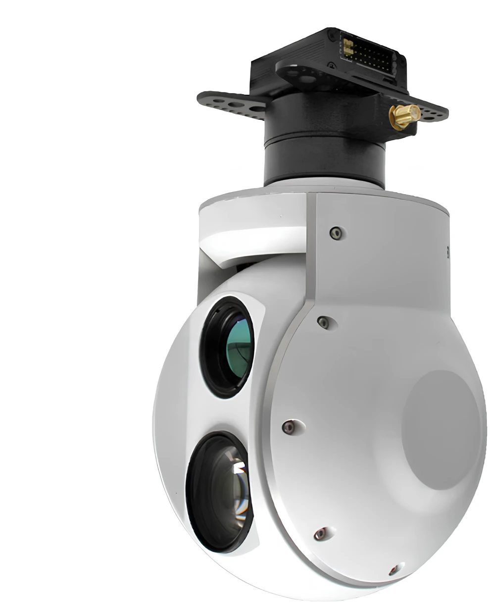

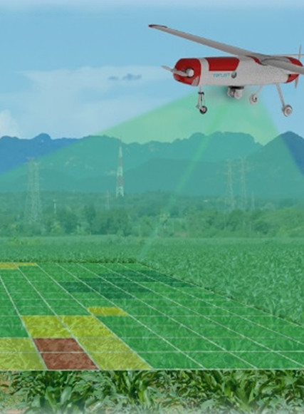

Cartography has evolved dramatically over the past decade. What was once a discipline rooted in manual surveying, satellite data, and ground-based measurements is now being revolutionized by one powerful tool: drones. Thanks to advances in UAV (Unmanned Aerial Vehicle) technology, modern mapmaking is faster, more precise, and more accessible than ever before.
Why Drones Are Changing the Mapping Industry
Drones bring capabilities that traditional mapping tools can’t match:
1. High-Resolution Data
Drones capture ultra-detailed aerial imagery with resolutions far higher than satellites. This level of precision lets cartographers create accurate orthophotos, 3D models, and digital elevation models (DEMs).
2. Faster Surveying
A drone can survey dozens or hundreds of hectares in a single flight, drastically reducing time spent on the field. What used to take days may now take less than an hour.
3. Lower Costs
Drone mapping eliminates the need for manned aircraft and reduces human labor, making professional cartography more affordable for small and medium businesses.
4. Access to Hard-to-Reach Areas
Drones can fly over cliffs, forests, construction sites, and hazardous zones without putting people at risk.
How Drone Cartography Works
Modern drone mapping follows a structured workflow:
1. Mission Planning
Using specialized software, operators define the flight path, altitude, overlap, and area to be mapped.
2. Data Capture
The drone flies autonomously, capturing hundreds or thousands of overlapping images.
3. Photogrammetry Processing
Those images are processed with platforms like Pix4D, DroneDeploy, or Agisoft Metashape to generate:
-
Orthomosaic maps
-
Contour lines
-
3D point clouds
-
DEMs & DSMs
-
Textured 3D models
4. Data Analysis & Export
The resulting map can be exported for GIS systems (ArcGIS, QGIS) or shared with stakeholders for decision-making.
Industries Benefiting from Drone-Powered Mapping
1. Agriculture
Farmers use drone maps for crop health analysis, irrigation planning, and precision agriculture.
2. Construction & Urban Planning
Drones help monitor construction progress, measure stockpiles, and plan infrastructure projects.
3. Environmental Monitoring
Scientists track deforestation, erosion, wildlife habitats, and natural disasters.
4. Mining
Operators use drone mapping to measure volumes, track excavation progress, and ensure worker safety.
5. Real Estate & Land Development
High-quality aerial maps help developers analyze land potential and visualize projects.
The Future of Drone Cartography
The field is only getting started. With advancements like LiDAR-equipped drones, AI-based image analysis, and real-time mapping, drones are becoming indispensable tools for professionals worldwide.
Future trends include:
-
Autonomous fleets of drones performing continuous mapping
-
Real-time 3D reconstruction
-
Integration with VR and AR for immersive geospatial visualization
-
Cheaper, more accurate LiDAR sensors
Conclusion
Drone-powered cartography is reshaping how we understand and represent the world. Whether for environmental protection, urban development, agriculture, or scientific research, drones make mapping faster, safer, and more accurate. As technology continues to evolve, drones will play an even larger role in creating the maps of tomorrow.